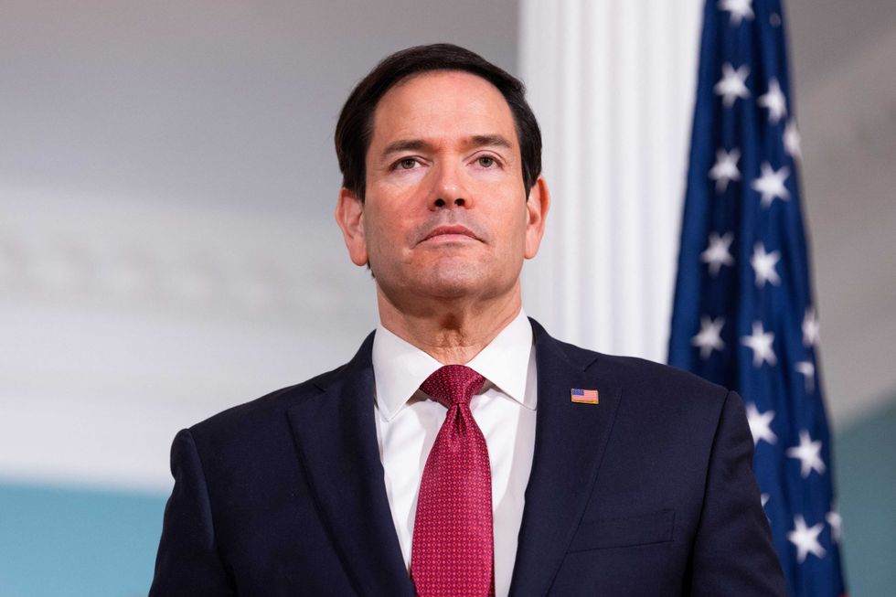
U.S. Secretary of State Marco Rubio at the State Department in Washington, D.C., on April 7, 2026. REUTERS/Aaron Schwartz

The Trump administration State Department is issuing a mea culpa for using a bizarre map of Africa that mislabeled every country that was highlighted.
"A video of the presentation given at the AIDS 2026 conference in Rio de Janeiro ... shows the errant map displayed halfway during a presentation about the State Department’s new health agreements," reported The Guardian, noting the original image was caught by Reuters.
The map highlights Nigeria, Mozambique, Uganda, Côte d’Ivoire, Malawi, and Cameroon all in completely the wrong parts of the continent, and often with made-up borders that don't resemble the real ones. Nigeria, for instance, was depicted as in the middle of the Sahara Desert instead of its correct position on the Gulf of Guinea, while Mozambique was depicted where Ethiopia is near the Horn of Africa, instead of its real location in the southern part of the continent.
In response to the viral controversy, a State Department spokesperson apologized, per The Washington Post.
"This was an unfortunate error caused by a team member who hastily altered the slide deck immediately before the presentation at the AIDS 2026 Conference," said the spokesperson. "We take full responsibility for the confusion and misrepresentation it caused for attendees, including our African partners." The statement did not clarify how these "hasty alterations" could have led to the fictional borders as well as the mislabeled locations.
The State Department has endured a number of recent humiliations, including Brazil denying visas to two high-ranking Trump administration officials over allegations of election meddling.
Report typos and corrections to corrections@rawstory.com.
For customer support contact support@rawstory.com.